a series of examples around creative cartography in 2D and 3D, using THREE.js and custom tools.
you'll need a local server with PHP to run the demos and load some tilesets (elevations especially)
the source code is available on a github repo https://github.com/nicoptere/cartography and licensed under MIT

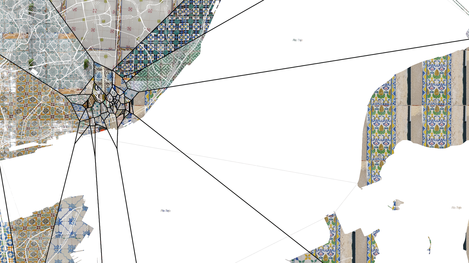

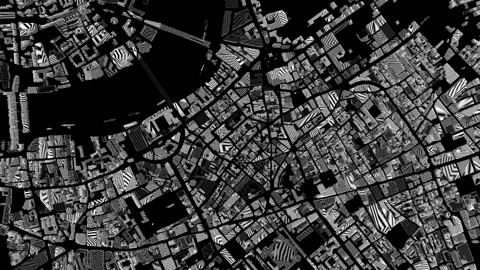
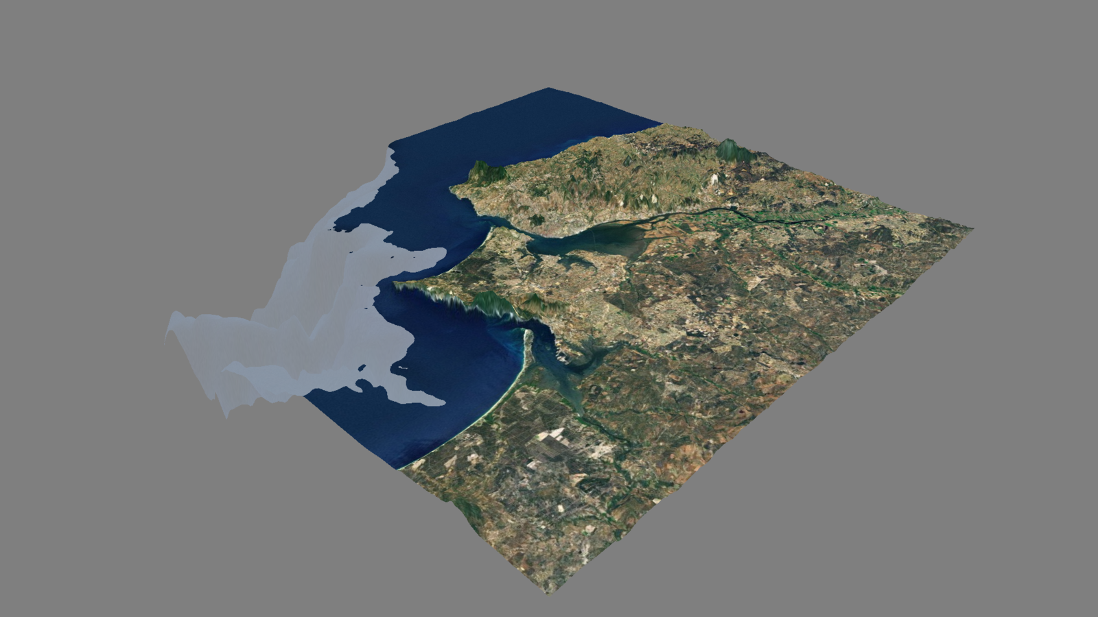
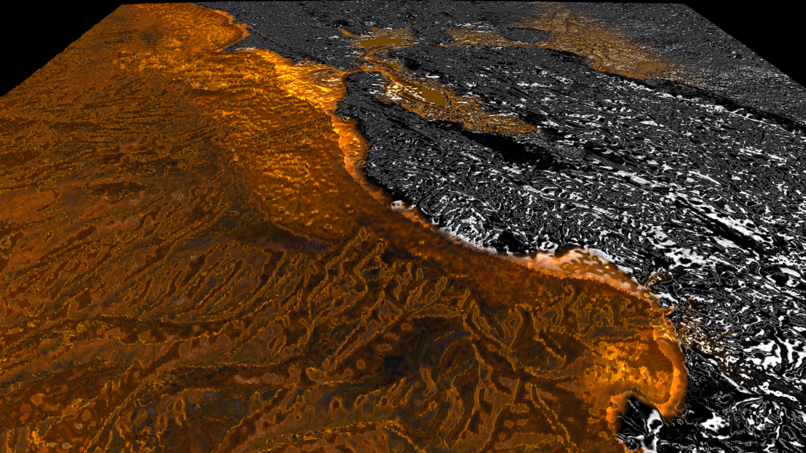
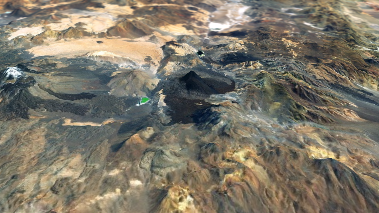
the following demos use a tileset to compute the elevations of the vertices of a plane
it's based on http://www.elasticterrain.xyz elevation tileset
this will not work online
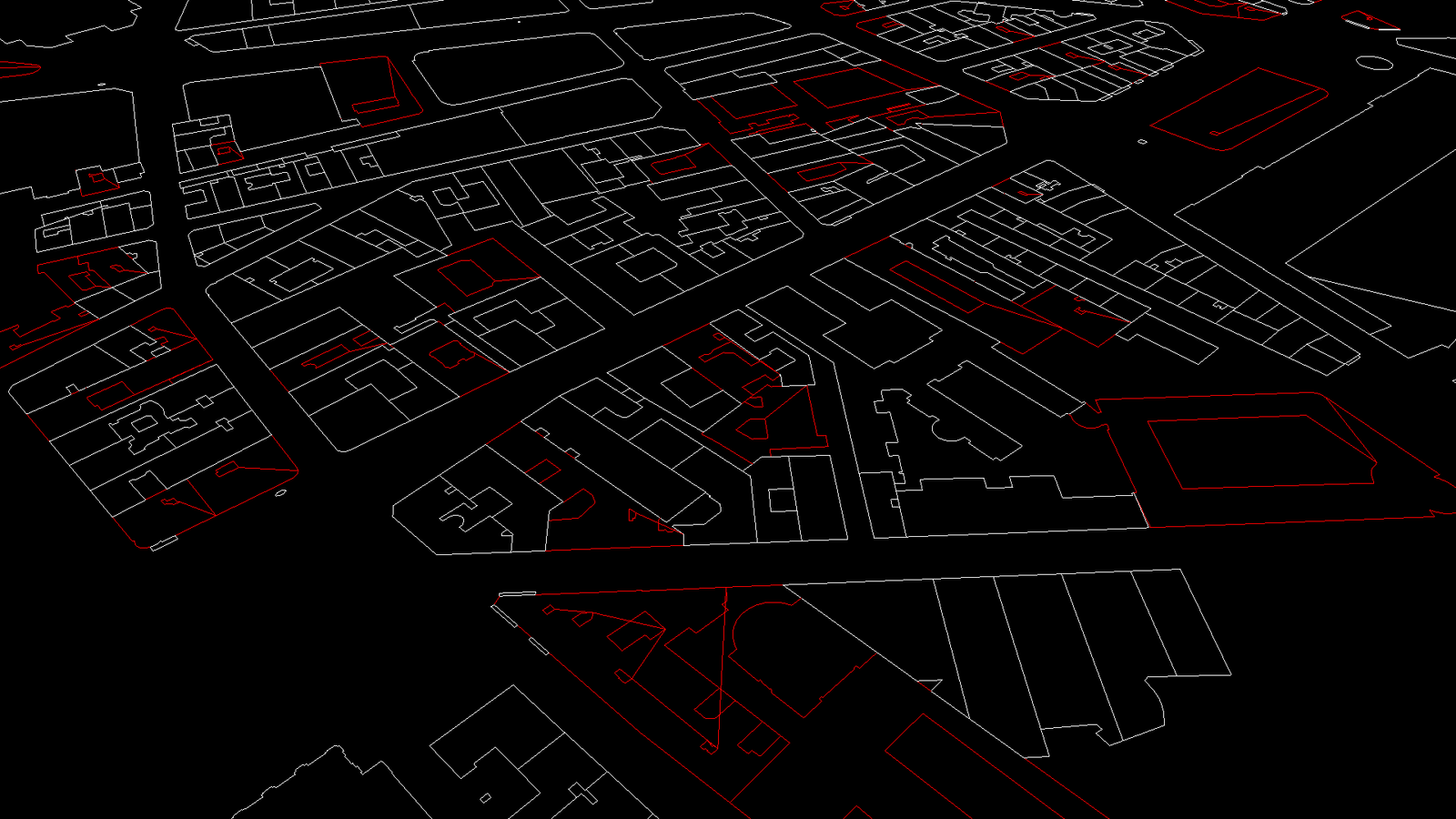
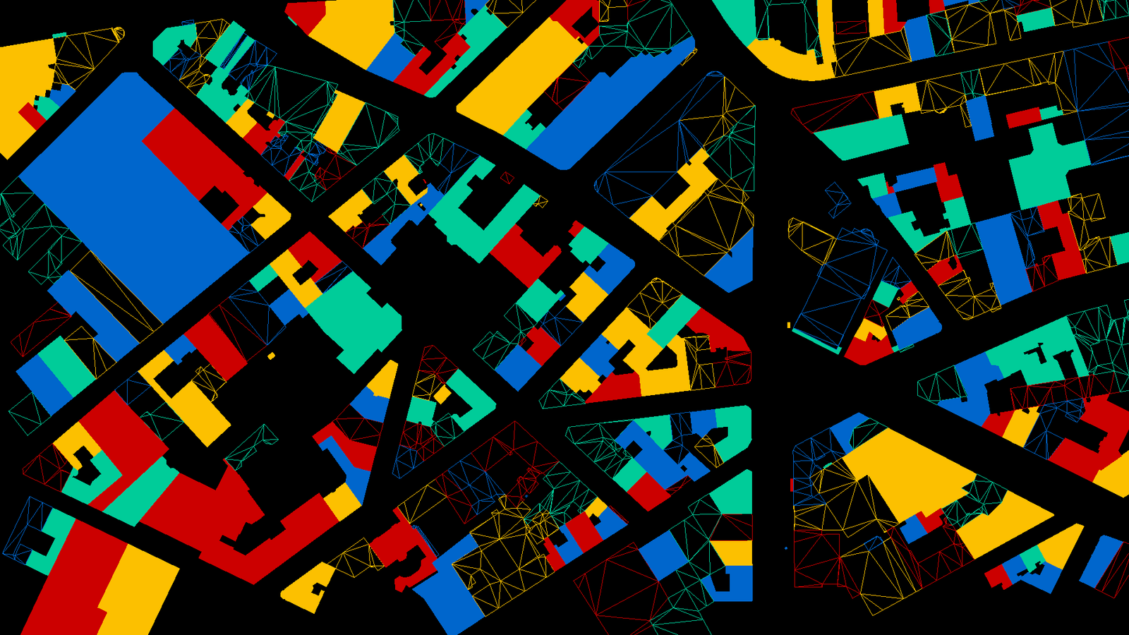
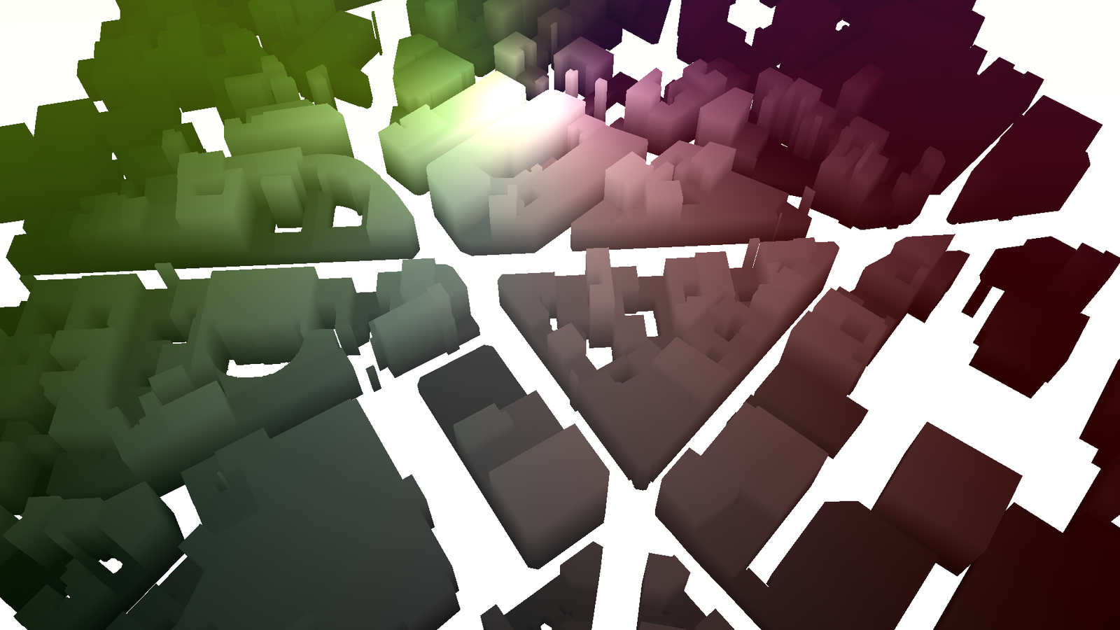
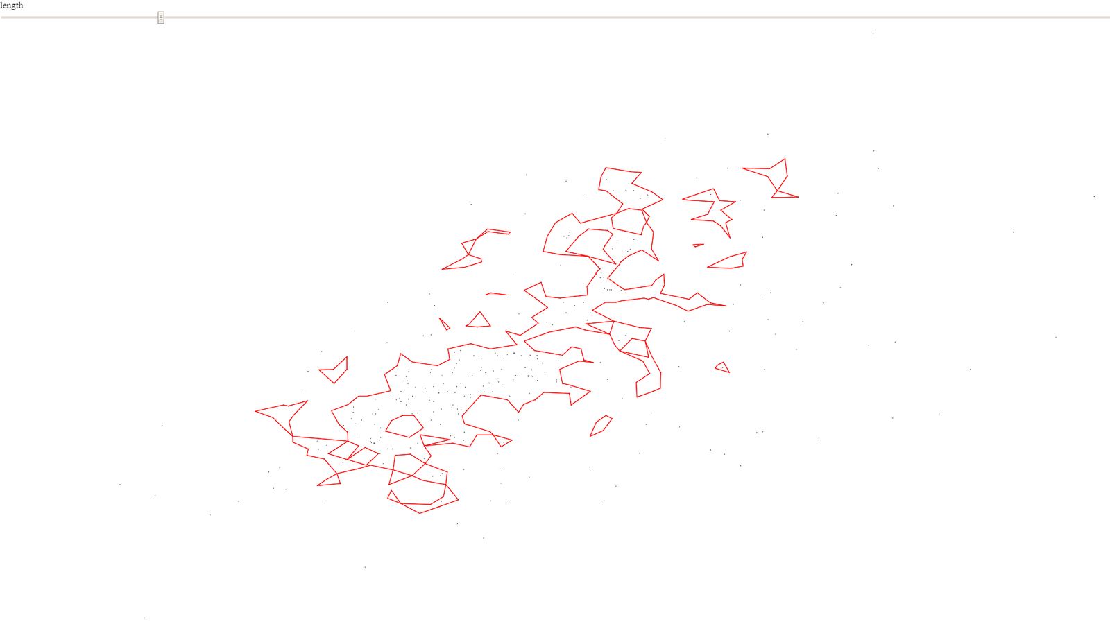
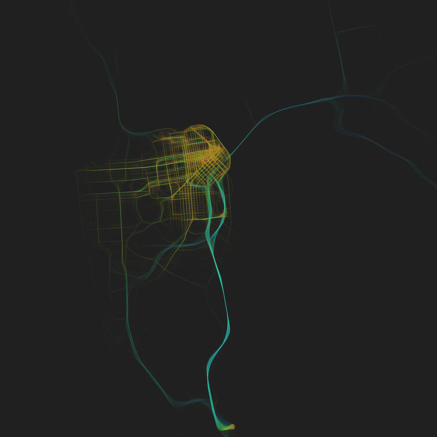
the following demos use https://openstreetmap.us/~migurski/vector-datasource/ vector information to generate 3D models on the fly